The United States Geological Survey (USGS) defines a watershed as an area of land that drains all the streams and rainfall common to a common outlet. Watersheds are also known as drainage basins or catchments.
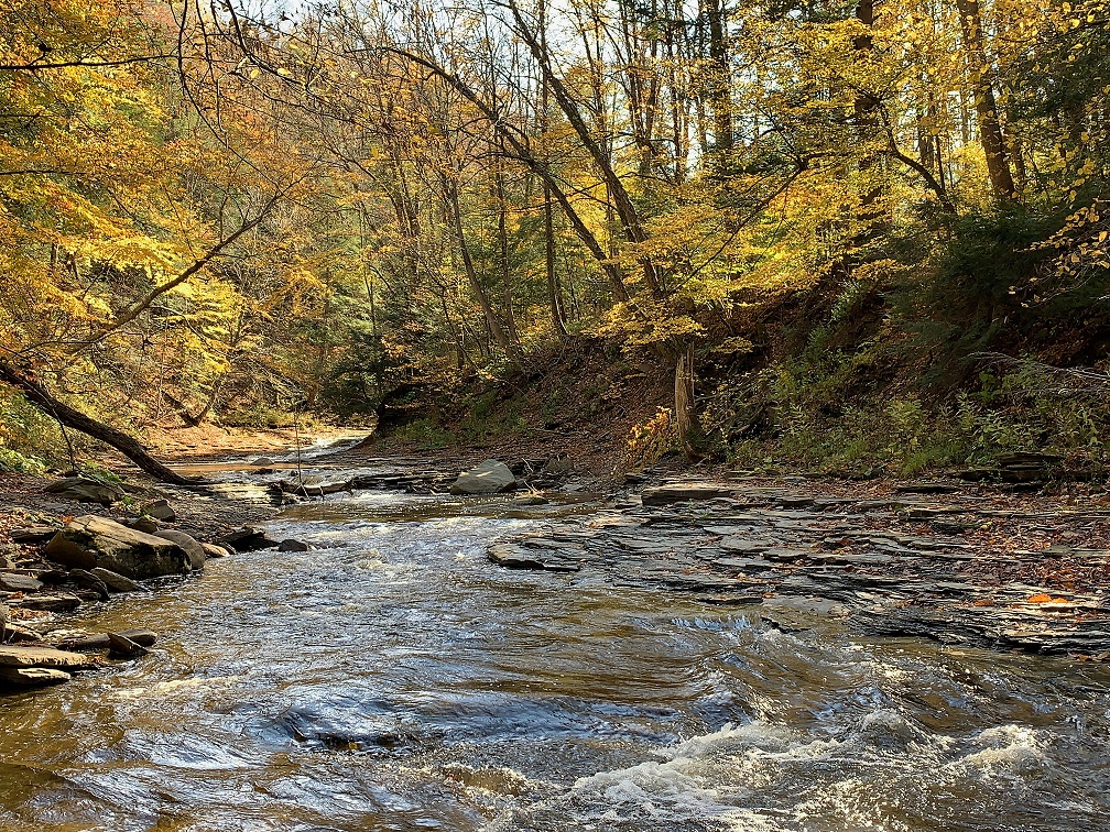
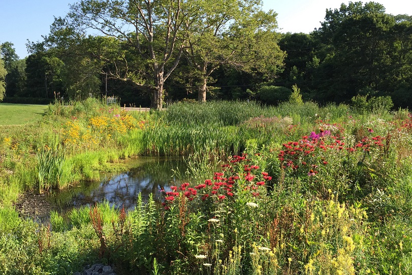
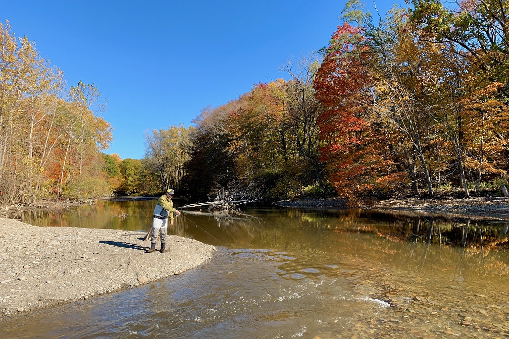
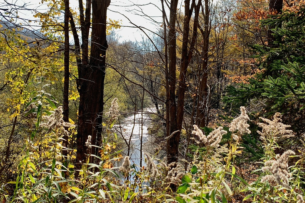
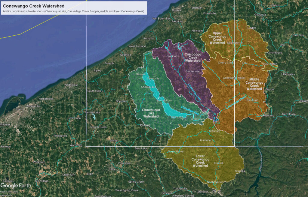
The Chautauqua-Conewango Consortium, a Waterkeeper Alliance Affiliate, serves a 900-square mile drainage basin that includes all of the waters that form the Conewango Creek – about 780 total miles of streams. The Conewango Creek Watershed includes several subwatersheds: the Chautauqua Lake, Cassadaga Creek, and the upper, middle, and lower Conewango Creek. The main water bodies that are included in the Conewango Creek Watershed are Chautauqua Lake, Cassadaga Lakes, Bear Lake, and the many miles of streams that connect these waters to the Conewango Creek. The watershed is located on the northern Allegheny Plateau and is comprised of forested hillsides, agricultural areas, small cities, and rural, residential communities. It is part of the larger Allegheny and Ohio River watersheds. To read more about the Allegheny River Watershed and the 59 miles of the tributary Conewango-Creek Watershed, go to: https://dec.ny.gov/nature/waterbodies/watersheds.
The map below was created by Twan Leenders, Director of Conservation, Everwild Land Trust, based on NYSDEC data sets.
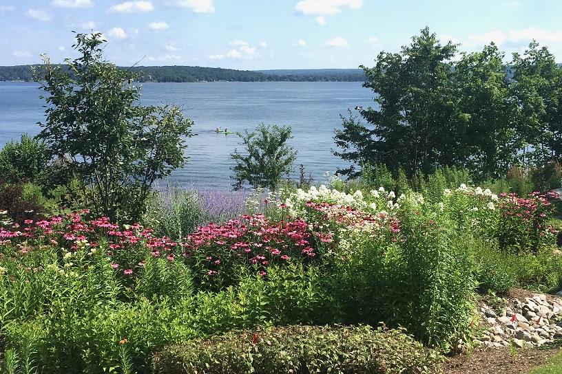
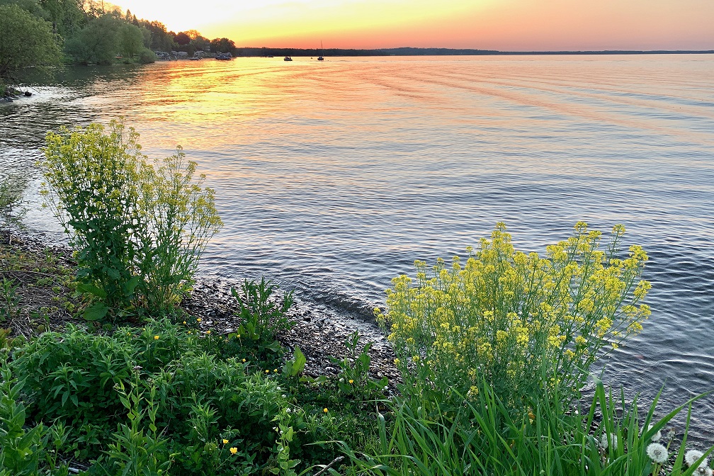
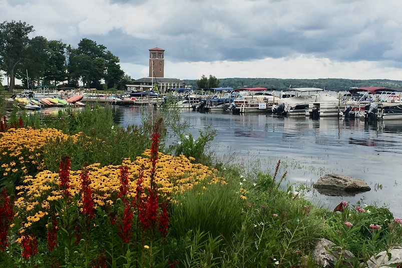
Chautauqua Lake and the Chadakoin River
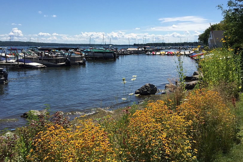
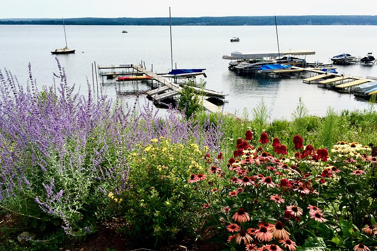
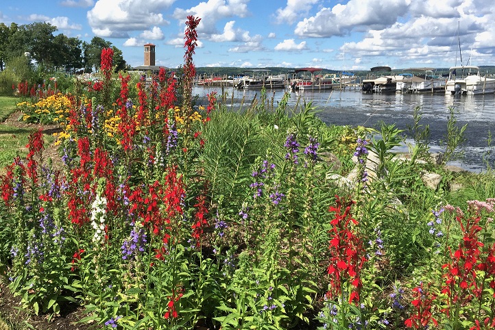
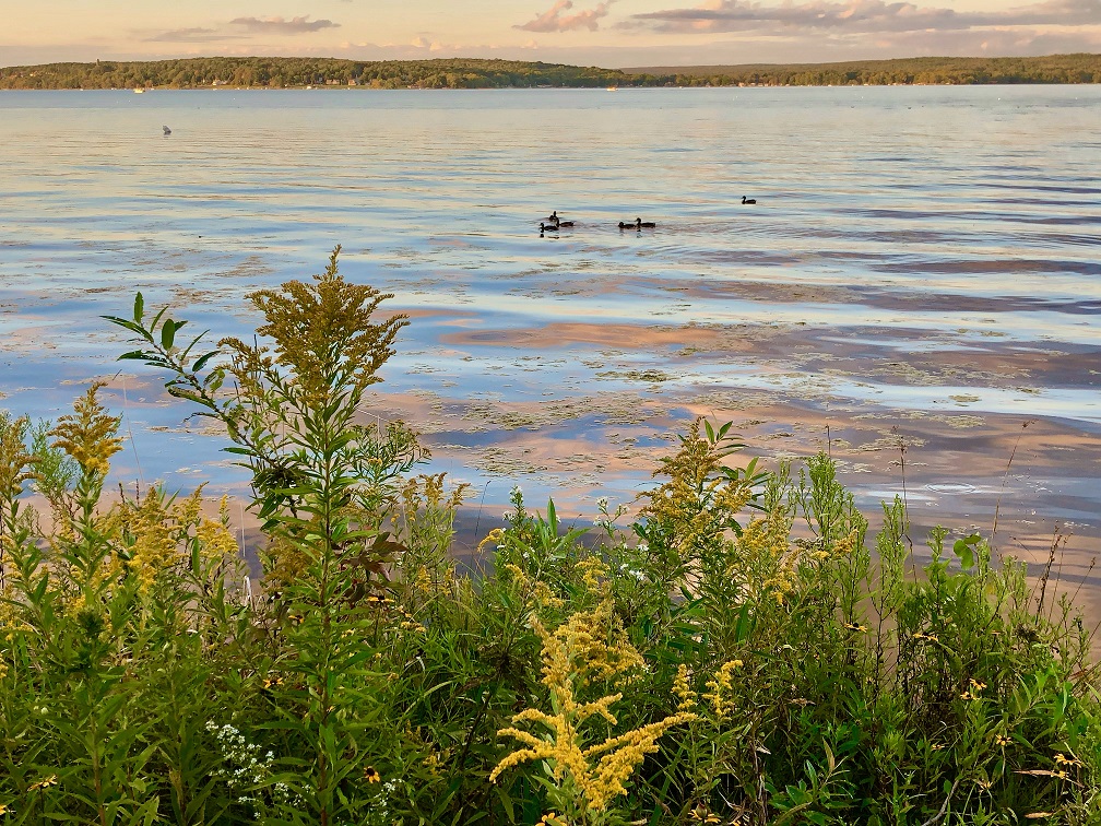
Chautauqua Lake formed by the northward retreat of an Ice Age glacier between ~19,000 and 14,000 years ago. There are two distinct basins – North and South – of nearly equal size separated by a constriction. Water from the lake flows south to the Chadakoin and Conewango Rivers. The water from these two rivers joins larger rivers becoming part of the Mississippi River flowing into the Gulf of Mexico.
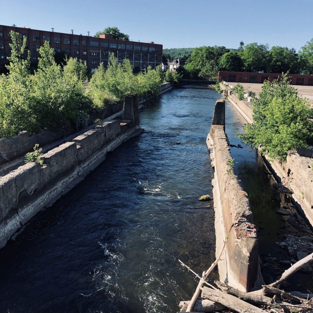
The City of Jamestown, NY was originally named “The Rapids,” because it was settled along the rapids of the Chadakoin River. The river supplied waterpower for early industries such as sawmills, grist mills, and woolen mills. The Chadakoin originates at the Chautauqua Lake Outlet where it flows into Jamestown at McCrea Point. Like many communities that built around a source of waterpower, the City of Jamestown eventually “turned its back” on its river when it was no longer necessary for providing energy to turn machinery. Its waters became polluted, its banks littered with trash. Today, much of the Chadakoin River remains hidden between and even beneath buildings along Jamestown’s old industrial corridor.
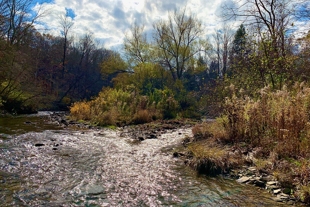
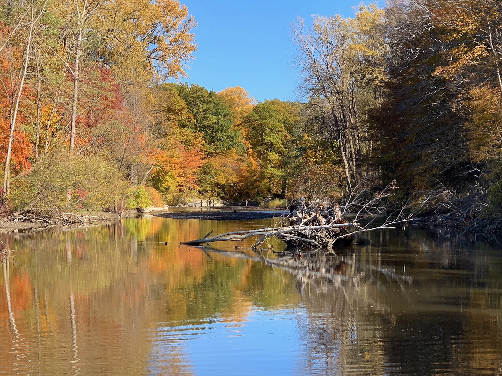
Sections of the Chadakoin River are currently being revitalized as citizens recognize the river’s benefits. Local researchers are discovering that the river is thriving with a diversity of unique species including the Spiny Softshell Turtle (featured in our logo). The Chadakoin River winds through the City of Jamestown and through the neighboring Village of Falconer to join the meandering flow of Cassadaga Creek in an area known as Levant. A short distance downstream, the Cassadaga Creek joins the Conewango Creek, which, in turn, joins the Allegheny River in Warren, Pennsylvania.